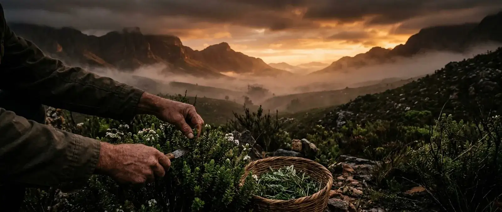
Two ways of reading a forest — one from above, one from within.
There are two ways to read a forest.
One is from above — through geospatial analytics, earth observation, and remote sensing. Satellites pass silently overhead, mapping timberland parcels, tracking forest history, and benchmarking assets across thousands of hectares. This is environmental intelligence in its most modern form: GIS layers, machine learning models, carbon baselines, and ESG/MRV workflows all working together to build a defensible picture of forest condition over time. It's how the world now practices sustainable land management at scale — quantifying harvest and thinning events, biodiversity overlays, and the slow damage of pests, disease, wind blow, or fire, long before it's visible on the ground.
The other way to read a forest is from within it — the way it has been read in Southern Africa for generations.
Long before due diligence reports and forestry decisions were shaped by data dashboards, they were shaped by hands, seasons, and inherited knowledge. Healers and gatherers moved through indigenous stands and forest boundaries the way an analyst now moves through a dataset — noting condition, change, and rhythm. Which roots emerged after the first rains. Which barks were ready. Which leaves signalled the turn of a season. This, too, was a form of environmental intelligence — just encoded in memory and ritual rather than in satellite data.
At EarthTrace, both readings of the forest live in our name, even if only one lives in our product line.
Our EarthTrace is not a geospatial analytics platform. We don't benchmark timberland parcels or track carbon baselines. What we do trace is older and slower: the line between the African forest floor and the ritual guides, ground herb elixirs, and botanical wellness traditions we bring to a modern audience.
Where a forestry data platform asks "How healthy is this stand, and how do we know?" — we ask a version of the same question, just softer: "What has this land always known, and how do we carry it forward responsibly?"
"Sustainable land management" is a phrase you'll find in forestry software brochures. For us, it isn't a feature — it's a precondition. Every herb we source is wildcrafted with the same respect a forester gives a stand they intend to harvest for decades, not just one season. No fix-word promises, no overharvesting, no treating the land as an asset to extract rather than a relationship to maintain.
That's the quieter, older cousin of "environmental intelligence": knowing enough about a place to take only what it can regrow.
We didn't choose the name EarthTrace to compete with satellite forestry companies — we didn't know one existed until recently. But the overlap is a useful reminder that "reading the forest" is a universal human instinct, whether it's done with an algorithm or an elder's memory.
Both are trying to answer the same question civilisation has always asked of its forests: what's really going on in there, and how do we act on it wisely?
Ours just comes in a ground herb elixir instead of a dataset.
Further reading: Wikipedia: Remote sensing · Wikipedia: Traditional ecological knowledge
This article shares traditional and ancestral wellness knowledge for educational purposes only. It is not medical advice and is not a substitute for consultation with a qualified healthcare professional. Read our full disclaimer.